Trail of the Canyon
- Loop
- 2 km
- 5 min
- Easy
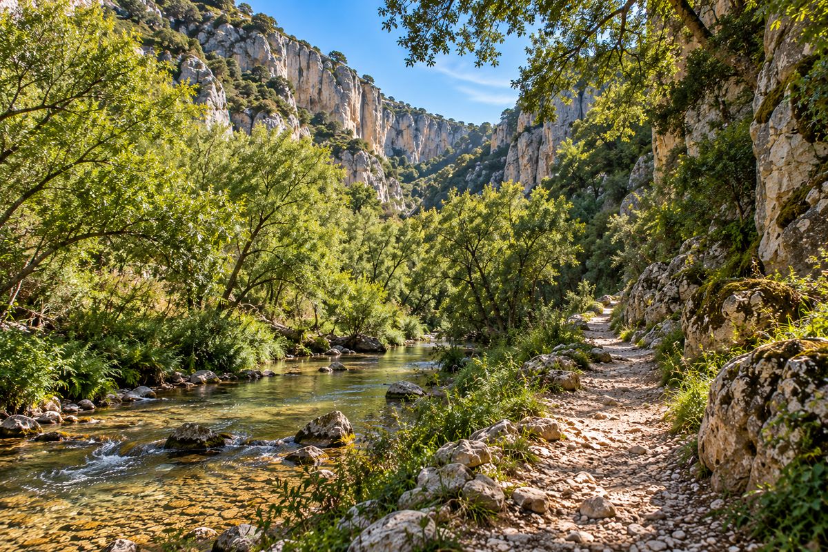
It runs along the bottom of the valley beside the Ota stream and ascends to the viewpoint. Points 1, 2, 4 and 6.
GPX coming soon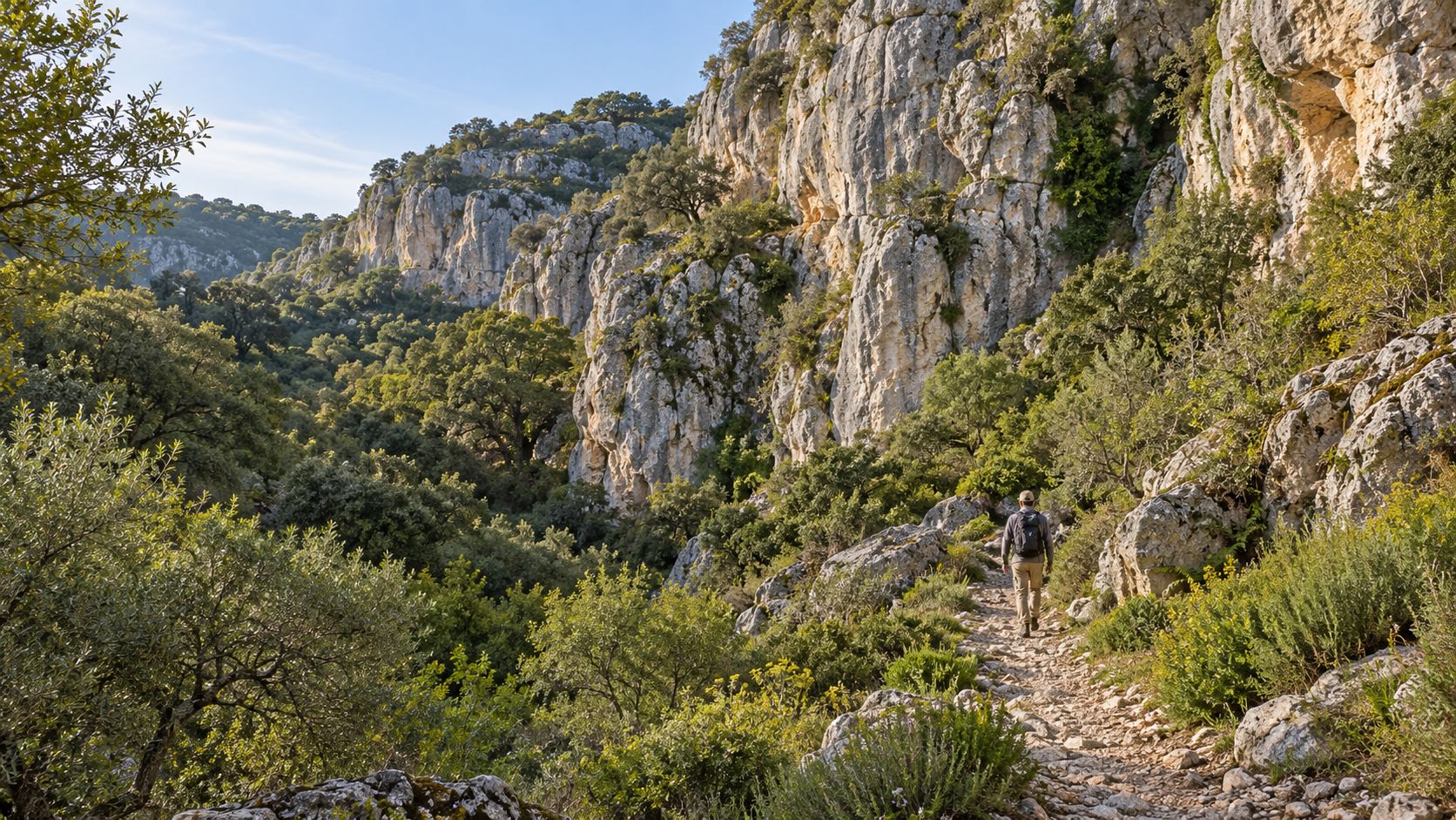
Choose a theme, find it on the map and follow the route that takes you there.
Provisional locations — replace with the official GPS survey.
Signposted walking routes connecting the points of interest.
It runs along the bottom of the valley beside the Ota stream and ascends to the viewpoint. Points 1, 2, 4 and 6.
GPX coming soon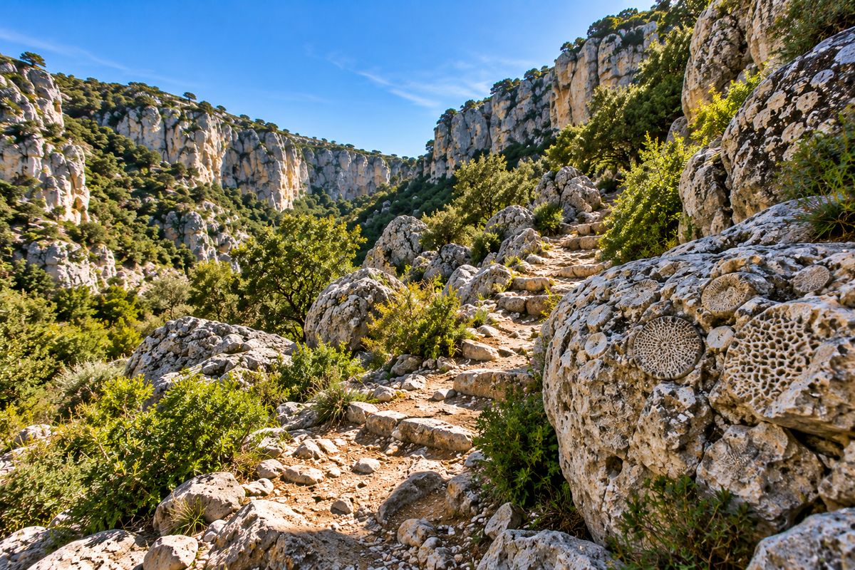
All about geology: cliffs, fossil reef, rock shelters and karren. Points 2, 3, 5 and 7.
GPX coming soon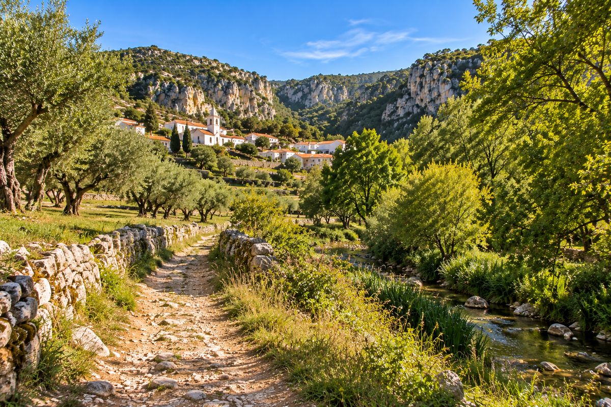
Links Ota village to the Canyon, passing the old quarries. Points 9, 8 and 4.
GPX coming soon